Drones in Forestry – Years 5-6
Lesson Overview:
|
|
** WINNER – 2022 Australian Geography Teachers Association Awards ** Awarded Best DIGITAL/ONLINE RESOURCE
Dr Susan Caldis Chairperson of AGTA Board |
Welcome to Drones in Forestry – a fun, highly engaging, technology rich cross-curricular HASS (Geography/History) and Technologies unit that allows students to explore how Australia’s sustainable forests are sustainably managed using a variety of high-tech digital systems including drone and remote sensing technologies. It also allows students to code and fly their own drone flight path to provide a solution to a real-world industry scenario.
>> DOWNLOAD ALL YEARS 5/6 UNIT RESOURCES FROM THE SHE MAPS WEBSITE BY CLICKING HERE <<
Through the unit, students will:
- learn the different ways that digital systems assist Australian foresters,
- design and implement their own drone mission to solve a forestry problem, and
- design and create a game-like app to reinforce understanding of drone mapping and STEM concepts.
The Teaching and Learning resources consist of Australian Curriculum mapped lesson sequences with supporting resources and assessment rubrics. The unit has been designed in discrete modules to cater for equipment access, time constraints and curriculum requirements.
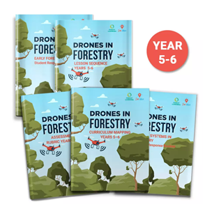
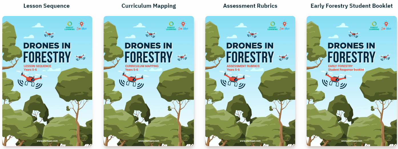
The Years 5-6 Drones in Forestry resource consists of:
- Lesson sequence with hyperlinks to supporting resources
- Australian Curriculum mapping document
- Assessment rubrics mapped to the Australian Curriculum Achievement Standards
- Student response booklets:
- Early Forestry response booklet,
- Digital Systems in Forestry response booklet, and
- Sarah Maddison Case Study response booklet
- Student activity sheet – Guess the word sets A and B
- StoryMaps- interactive visual web-based guides with engaging embedded videos, including ForestVR 360o videos, and maps.
- Accompanying supporting documents such as:
- Classroom Poster – Drones in Forestry

These resources
- enable teachers to complete the curriculum-aligned activities in their classroom
- cater to varied student ability, learning styles, and resource availability.
- are provided free for teachers to access and download
- are novel and relate to real-world industry scenarios
- are nationally applicable
- have been developed in partnership with She Maps, ForestLearning and with support from peak forestry industry organisations.

Year Level/s:
Key Curriculum Areas / Subject:
National Curriculum Codes:
Strand Content Description:
N/A
General Capabilities:
Cross Curriculum Priorities:
Curriculum Connections:
ScOT Catalogue Terms:
Theme/s:
Resource Type/s:
Primary:
Unit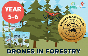
student Resource
Drones in Forestry - Years 5-6: STUDENT FILES
This Zip folder contains all Student files referred to in the unit including Student Response Booklets & Activity Sheets.
File Size: 12.33 MB
File Type: zip
Loginteacher Resource
Drones in Forestry - Years 5-6: TEACHER FILES
This ZIP folder contains all Teacher resources including Lesson Sequence, Assessment Rubrics and Australian Curriculum Mapping documents.
File Size: 12.45 MB
File Type: zip
Login