NEW 2017 EDITION – ABARES “Australia’s forests at a glance 2017” and “Where to find Australia’s forest industries map”
![]() 14 September 2017
14 September 2017
Australian Bureau of Agricultural & Resource Economics & Sciences (ABARES) has just published the new 2017 edition of “Australia’s forests at a glance 2017” – a pocket-book compendium of data and information about Australia’s native forests and commercial plantations. Released simultaneously was “Where to find Australia’s forest industries” which provides a snapshot of the forest industry, including the location of major wood processing facilities, native forest tenure, hardwood and softwood plantations, as well as roads and forestry ports.
Click to download both of these resources here:
Australia’s forests at a glance 2017 –>
https://www.agriculture.gov.au/search?search_api_fulltext=at%20a%20glance&page=1
Map of Australia’s forest industry 2017 –>
https://www.agriculture.gov.au/abares/forestsaustralia/forest-data-maps-and-tools/forest-maps
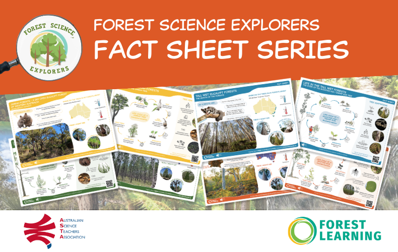
Great for teachers to get quick facts and maps of Australia’s forests! These pocket books are sent out along with other teacher resources within ForestLearning’s FREE TEACHER PACKS – order yours today by going to: https://forestlearning.edu.au/free-teacher-packs.html


